
Image credits: Holly Barber
Walk Details
This is only a relatively short walk – but it certainly packs a punch in terms of history, myths and legends.
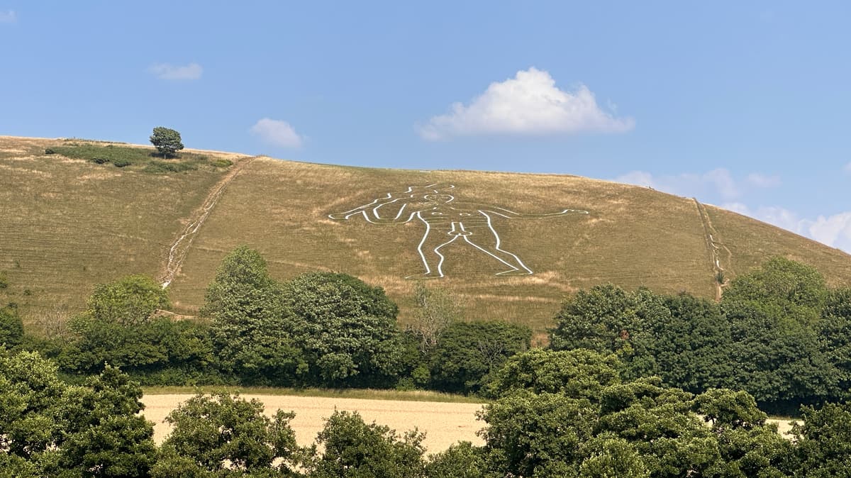
Cerne Abbas is a pretty chocolate box village in Dorset and probably best known for the 180 foot high chalk figure of a giant that has been carved into the hillside overlooking the village.
The origins of the giant are unknown – it’s certainly several centuries old, possibly closer to thousands of years. There are many myths, legends and debates about the origin of the giant – some believe it to be an ancient depiction of the Roman god Hercules, others believe it to be a pagan fertility symbol. The first recording of it was in 1694 although archaeological studies suggest it could date back to the Saxon period (between 700 and 1100 AD). The National Trust now manages the land where the giant is and undertakes the mammoth task of rechalking it every 10 years. The last chalking was done in the early summer of 2026.
Whilst there is a well marked walking route that takes you up onto the hillside (you can walk close to but not on the giant), this walk keeps us down in the village where we are offered a much better and clearer view.
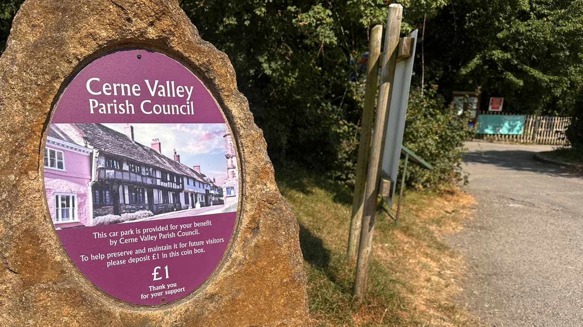
Our walk starts from the Kettle Bridge car park where an honesty box asks for £1 to help pay for the upkeep. There is a lovely picnic area at one end which you may want to use either now or at the end of your walk. As you approached the car park you may have spotted the giant on the hillside – but we’re saving our view of it until the end of our walk.
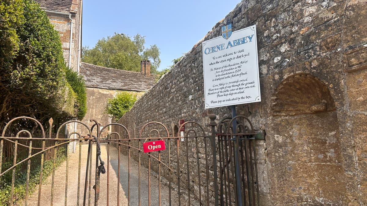
Leaving the car park we turn left, cross over the bridge and follow the marked path to the left, following the track as it turns to the right and uphill slightly. Just before the base of the main hill, we turn right, crossing a field that takes us downhill until we come to a gate in the wall. To our right here we can see the remains of the former Benedictine Abbey that once stood here. Founded in 987AD, the abbey was one of the most important religious places in Dorset. Whilst much of the abbey was destroyed in the 16th century during the Dissolution of the Monasteries under the reign of Henry VIII, it is possible to see some surviving remnants here and around the village.
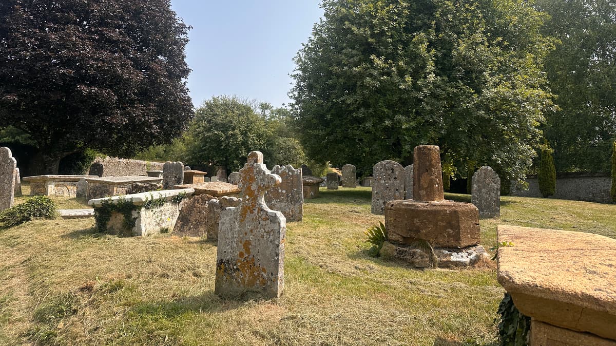
Going through the gate in the wall, we enter the cemetery. Initially we follow the path straight ahead of us but before we reach the next gate, we turn left and follow a sign that takes us to St Augustine’s Well, also known as the Silver Well. To get to the well you need to follow a cobblestone path down – in wet weather extra care should be taken here as it’s uneven in most places.
The well is a peaceful place to sit for a moment, perhaps allowing your feet to rest in the cool waters. As with many similar places, there are myths and legends about the well. Many of these you can read about up in the church yard. It is believed that 597AD St Augustine was sent to England by Pope Gregory the Great to share the Gospel. As his travels brought him west into Dorset he came upon a group of Shepherds. He asked them whether they would rather drink water or drink beer – to which they replied water. At this St Augustine gave thanks and struck his staff on the ground and a clear spring rose up where there had been none and so began the well. Or at least that’s one version of how it originated!
The Well has become a place of pilgrimage, of healing, of wishing and of prayer. Local women would come to the well and pray to St Catherine, asking that she may intercede and bring them loving and loyal husbands. Others would drink the waters believing it would bring them fertility. Nowadays it’s more of a place for quiet reflection and contemplation.
Going back up the cobbled path, we retrace our steps back to the gate in the wall. Here you’ll find the board with more information about the myths and legends of the well. We pass through the gate and immediately to our right is a gate where, should you wish, you can pay to enter what remains of the old Abbey.
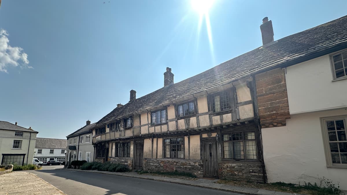
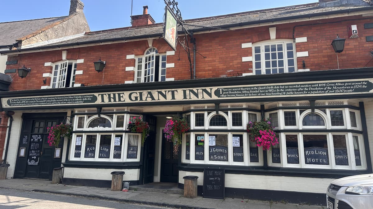
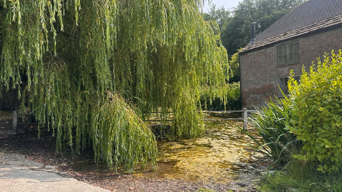
We’re turning left, noticing the Abbey Pond to our left, and continuing to walk straight ahead down the pretty street (Abbey Street). The village of Cerne Abbas is something off a chocolate box. Pretty cottages adorned with flowers, timber framed buildings that have a tale or two to tell and multiple village pubs to quench your thirst. The post office doubles as the village shop and sells local produce and souvenirs for the tourists who pass through.
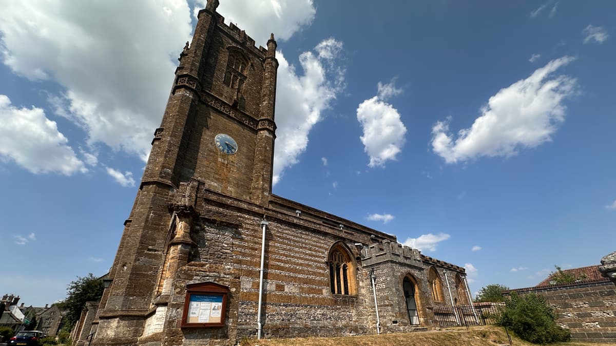
As we head along Abbey Street we notice the church of St Marys to our left. Just before it there is a gate in the wall that takes us into the Squibb Garden. In midsummer the scent of lavender is heavenly! This is again another beautiful place to pause and enjoy a moment of peace. Coming back onto Abbey Street once more you can’t help but notice the beautiful timber framed buildings ahead of you.
In the centuries that followed the Dissolution of the Monasteries, the village became famous for its beer. At one time the village boasted no fewer than 14 public houses – which is impressive when its population was just 1500 people. Now there are 3 that remain in the village centre – all offering a warm welcome, good cheer and tasty refreshments.
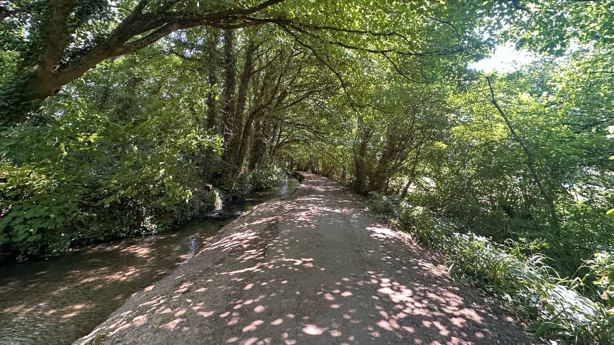
When ready, we head down Long Street, with The Giant Inn on our left, pass the post office and village shop on our right and turn right onto Duck Street. Almost immediately we take a right down Mill Lane and follow the public footpath along by the stream. Following this path straight on would take us back to pretty much where we started – but we want to make a slight detour first so we can admire the view of the Giant. We take a left, and follow the footpath past the school playing field until we emerge back onto Duck Street again and see the Cerne Abbas CofE First School ahead of us. We turn right and follow the road along. For the majority of the way there is a footpath we can walk on – but as we near the end we do need to walk on the road so please do take extra care here.
We pass Kettle Bridge Lane on our right (this is where we started from) and continue along Duck Street until we see a parking area ahead of us. Here you will also spot some information boards about the origins of the village and the Giant. As we look to our right, on the hillside above us we can see the outline of the Giant etched with chalk. It is an impressive sight and you can’t help but be drawn into the myths that surround it and wonder how and why it is here. The benefit of people not being able to walk on the Giant (unless they are re-chalking it of course) is you are pretty much guaranteed a clear view of it and can take a photograph without any obstructions. You can see the footpath that takes you around the edge of it – but perhaps you’ll save that to do another day.
To end our walk we retrace our steps back along Duck Street, turning left onto Kettle Bridge Lane and then left again into the car park and the picnic area.
Read more ...
 Nearest Train (or tube) Station(s):
Dorchester